
... health
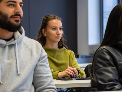
Get a taste of exciting degree programmes on the Schwenningen campus
Besides the up-to-date news here, you can also find out what's going on at Furtwangen University in Internal link opens in the same window:our HFU newsletters.
If you'd like to know when a new newsletter comes out, please email Email application is started:presse(at)hs-furtwangen.de to sign up for the newsletter.
Get a taste of exciting degree programmes on the Schwenningen campus
Your programme for the Schwenningen Campus
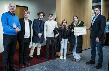
Faculty I's pioneering IT projects receive awards
Our offer on Schwenningen Campus
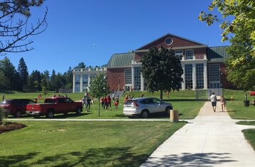
Your day on Tuttlingen Campus
My semester abroad at the University of New Brunswick (Canada) studying molecular and technical medicine
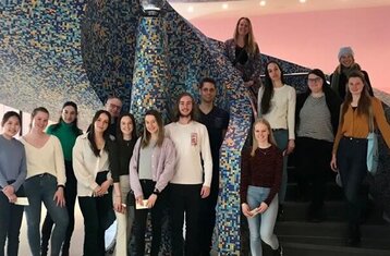
Report from the semester abroad at Hanze University of Applied Sciences in Groningen (NL)

“Fools, Sound & Tradition” until 23 February at Furtwangen University
Exciting study programmes on the Furtwangen Campus
Get a taste of this subject area on the Furtwangen campus

Go to uni while you're at school

Practical mentoring supports early-career female academics on their career path